PNG Scaled
        Solar System OpenLayers Map Overlay Logo
Version 0.1
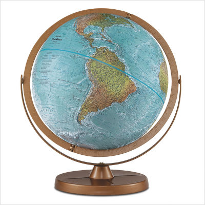
JPG table globe
Imagine shrinking the Earth down to the same size as a typical 12" (30 cm) diameter desk-top world globe (1:41849600). Now imagine using the same scale to shrink the entire Solar System, and overlay the size of the Sun, and the average orbits of the planets, as concentric rings centered on downtown Morden Manitoba, Canada -- using OpenLayers.

Scaled Solar System OpenLayers Map Overlay

Solar System Orbit Scales

1:41849600 (Globe) 1:10000000 1:1000000000 1:100000000000 1:100000000000

NOTE: The orbits of the planets are not perfectly circular (especially Pluto!) but the distance rings show the average distance from the planets to the Sun.

You can manually zoom in/out, chose between different background map types, toggle orbit shading, move the center of the map by double-clicking, change the scale of the planet orbit overlay, and can even use HTML5 geolocation to automatically move the map center to near to where you live!

By the way, at this scale a single grain of table salt would be over 20 km (65 thousand feet) in height when placed on the globe -- about twice the height that commercial airlines fly :)

For an Google Maps version of the same map, see here.